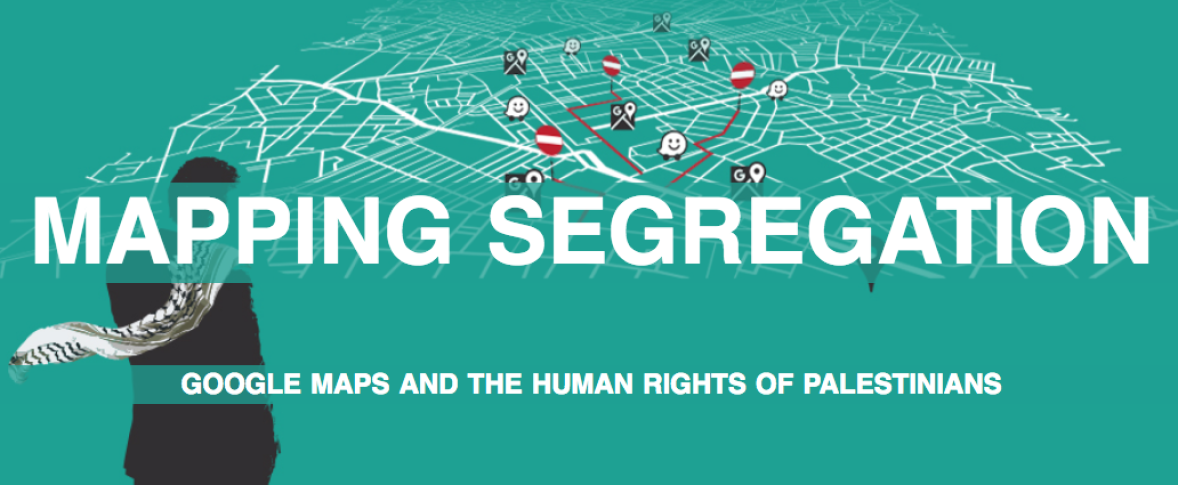
This report by 7amleh – Arab Center for Social Media Advancement reveals new insights about how Google Maps’ mapping process in the occupied Palestinian territories serves the interests of the Israeli government and contradicts Google’s commitment to international human rights frameworks.
In particular it focuses on Google Maps’ representation of geography and political boundaries in Israel and the occupied territories, including Google’s use of terms and route planning. Google Maps does not include the search term “Palestine” and rarely includes the names of Palestinian areas unrecognised by Israel, while at the same time, it includes the names of illegal Israeli settlements and locates them seamlessly. The maps also neglect to express the hundreds of roadblocks and permanent and flying checkpoints that Israel has erected throughout the West Bank, violating Palestinians’ right to freedom movement. As a result, Google Maps routes are only for Israelis and illegal Israeli settlers and can be dangerous for Palestinians.
The report concludes that Google Maps’ refusal to display internationally recognized borders, Palestinian villages and cities, checkpoints and restricted areas endangers the lives of Palestinians and adopts the Israeli narrative of space which is contrary to international law.
This report was produced with the support of an APC subgrant awarded for small projects that contribute to the local implementation of APC's strategic plan.
Read more and download the full report here.